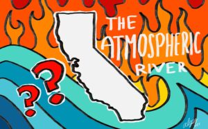
In Part 1, we discussed how the atmospheric river, a weather event in which large quantities of moisture concentrate in the atmosphere, can play a key role in exacerbating wildfire severity in California. If the atmospheric river makes landfall during the winter and brings heavy precipitation, it can stimulate excess vegetation growth. While this wouldn’t be a problem if it were always wet, the hot and arid summer seasons in California transform the vegetation into massive amounts of dried fuel. As you might expect, all this dried fuel makes California prone to extreme wildfire conditions during summer and fall. Therefore, you might conclude that atmospheric rivers, because they bring large quantities of precipitation and stimulate excessive vegetation growth, actually increase wildfire severity.
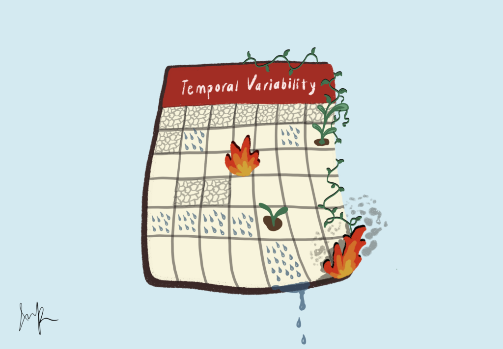
I recently performed a study to analyze the relationship between atmospheric rivers and wildfire severity in Northern California. However, instead of focusing on the amount of precipitation atmospheric rivers bring, as many previous studies did, I decided to take a different perspective on the matter. My study focused on the temporal variability of the atmospheric river, and how that could impact the wildfire severity. Furthermore, instead of considering both summer and fall wildfires, I considered only fall seasonal wildfires. In contrast to summer wildfires, fall season wildfires are driven by seasonal winds, namely the Diablo Winds in Northern California and the Santa Ana winds in Southern California. Due to these strong seasonal winds, which blow from the inland mountain ranges towards the coast, the fall season wildfires are much more damaging than summer wildfires, spreading rapidly towards populated coastal regions.
Atmospheric rivers can occur anytime during the year. Hence, my focus is on their temporal variability. While most of the landfall in Northern California occurs during winter, I examined the potential for atmospheric rivers to make landfall earlier, during September and October, and how that could limit fall seasonal wildfire spread. Logically, if precipitation comes just before the fire season begins, the moistened ground and vegetation would limit wildfire severity. My study proved this, as after developing a forecast model for fall season wildfire severity based on atmospheric river landfall during September and October, I observed there was indeed a negative correlation.
Now, you might be wondering, isn’t it obvious that if rain comes before fire, the fire is reduced? So what?
That is precisely the point. While previous studies only focused on how atmospheric rivers could increase the wildfire severity in the following seasons, our key observation is that atmospheric rivers, due to their temporal variability, can occur earlier in the year and mitigate wildfire risk. And the critical piece to this puzzle is the nature of the atmospheric river. As a weather event, there is a potential for atmospheric rivers to be forecasted, as we do for other weather events such as hurricanes. Let’s say we create a long-term forecast model for atmospheric rivers during September and October. Now, if we combine this forecast model and the wildfire severity forecast model based on atmospheric river landfall, what we have is a potential long-term fall season wildfire severity forecast model in our hands. Say, for example, it’s spring and we predict that there will be little to no significant atmospheric river landfall during September and October. We now have several months to prepare for extreme wildfire conditions during fall. Of course, there are many other factors that determine the extremity of wildfire severity, but if we can observe atmospheric rivers and create a long-term forecast model, we have the potential to protect property and people from the extreme fall season wildfires that have so often wreaked havoc in California.
The views and opinions expressed are those of the authors and do not necessarily reflect nor represent the Earth Chronicles and its editorial board.