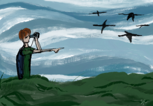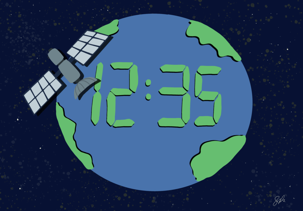
I was a high-school intern for NASA this summer for their NASA SEES internship program with the University of Texas at Austin, and throughout the whole summer I learned how to utilize remote sensing data for research purposes. Remote sensing is in your life everyday, even if you may not realize it; for example, your local weather station utilizes remote sensings, and so does your phone’s GPS system! Remote sensing is a technique used by scientists and engineers worldwide that utilizes the use of satellite data to analyze Earth. Satellites are like microscopes in the sky that allow us to see every “cell” of Earth; satellites provide us with an outside view of Earth and this view allows us to see the bigger picture that humans have painted on the world. Information and data obtained from remote sensing is all taken from space or the sky so this makes it easy for researchers to see any kind of data anywhere on Earth from anywhere on Earth(NOAA). And when this data can represent the whole world and identify key dangers to it, it is all the more important to teach anyone interested in the environment about it.
Researchers all around the globe use remote sensing data to represent the whole world(and they don’t even have to go outside to get it)! It’s also popular because it’s easily accessible to anyone who wants to do research such as citizen scientists and students. Anyone can use remote sensing data to research different aspects of their local communities, far away cities, or even the whole world. The type of research anyone can do with remote sensing can improve various aspects of the Earth’s environment and even small discoveries can contribute to large developments in the future. For example, remote sensing data is primarily used to monitor global conditions such as plastic production, deforestation, sea level rise, natural disasters, and more; this data can then be used to promote sustainability in damaged ecosystems or begin planning environmental-friendly solutions(Cantrell, Simon J., et al.). Furthermore, since remote sensing is so accessible, it’s easy for anyone to connect with other remote sensing users to connect their data and work together to make important discoveries in every field of science. Data that can be used for hundreds of different fields is essential to research because it can connect different aspects of research and inspire new discoveries.
Every piece of remote sensing data has the ability to travel into the past, present, or future because it utilizes information that comes from different satellites from different generations(you can get environmental data from 1 year ago or 70 years ago depending on what satellite you are getting your data from)! And this ability to “time travel” will only be enhanced in the future since multiple new satellites are being developed for remote sensing; some recent(2024-2025) satellites include: PACE, MethaneSAT, TEMPO, and soon to be NISAR. One of the oldest and most notable remote sensing satellites was Landsat, which studies world terrain; Landsat has studied the whole Earth hundreds of thousands of times since its launch(Landsat 5 made over 150,000 orbits around Earth on its own!). There have been over 9 “generations” of Landsat satellites that provide scientists form data starting all the way back to 1972! Geospatial scientist Megan Snow says, “Landsat data allows scientists to understand land use and land cover change, including processes such as urbanization, deforestation, crop monitoring, monitoring and management of natural disasters(such as floods and wildfires), and more.” (NASA Landsat). The use of remote sensing is diverse and can be used for any type of scientific research project(ranging from engineering, to ecosystem health, etc). As the world changes alongside humanity, it’s important to note how remote sensing can show you a glimpse of the Earth’s future.
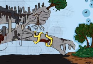
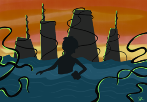
So, how can remote sensing let us time travel? When someone uses remote sensing data to study the past, they get to see how much the world has changed over the years and they mostly focus on trends such as decrease in vegetation, increase in urbanization, etc. This data is then used to compare the Earth’s past conditions with its present, and these comparisons can then lead to predicting future conditions(predictions supported with past and present data); these studies then help other researchers plan for supply shortages(like water shortages), heat waves, droughts, floods, wildfires, earthquakes, and other extreme weather events(Rocchio, Laura EP, and Jon Campbell). In recent times, remote sensing has been used to record future and present global warming trends and patterns to see how global warming is affecting specific climates and ecosystems. For example, ICESAT and GRACE-FO satellites record how much glacier cover is being lost while the TRACE records global emissions(NASA EARTHDATA). The Earth has injuries just like any person, and anyone who uses remote sensing data are the Earth’s doctors.
Enlisting yourself as an environmental time traveler can be so beneficial to both you and your environment. Whether someone wants to create their own individual science project for a fair or competition or use the data for work, remote sensing data can be accessed and used by everybody! Platforms like EarthMap, GLOBE Observer, NASA EARTHDATA, NASA APPEARS, Collect Earth Online, Open Street Map, and more, let anyone access/collect remote sensing data(inspiring citizen science participation all around the world). Even if you do not want to directly use or work with remote sensing data, it is so important to know what it can do and how it is used in your daily lives.
Remote sensing is how we can read the Earth like a book and it is essential that anyone interested in any field of science or the Earth in general knows about it. Remote sensing is like a speaker that amplifies the Earth’s final calls for help, and it’s up to researchers, applied science users, and citizen scientists to respond. Go be a time traveler(and possibly save the world with your discoveries)!
Extra Resources/Comments for those wanting to participate in citizen science data:
If you would like to start some research projects with remote sensing, feel free to look at this mini beginners remote sensing guide I made that was inspired from some research projects I did for a NASA internship!:
https://docs.google.com/document/d/1-HWueJ9we8s_TUJwXQ6knLjV3gmrNXDvsNJ9YENnQyA/edit?tab=t.0
An app I also want to recommend is the GLOBE Observer app which allows you to take land cover photos wherever you go, and these photos can be used in research projects or you can just contribute the data to GLOBE so organizations like NASA can have a better understanding of our Earth. From what I learned when I interned at NASA, NASA uses GLOBE data to study the accuracy of satellite data when compared to on-land data(and this can help create more accurate satellites in the future).
The views and opinions expressed are those of the authors and do not necessarily reflect nor represent the Earth Chronicles and its editorial board.